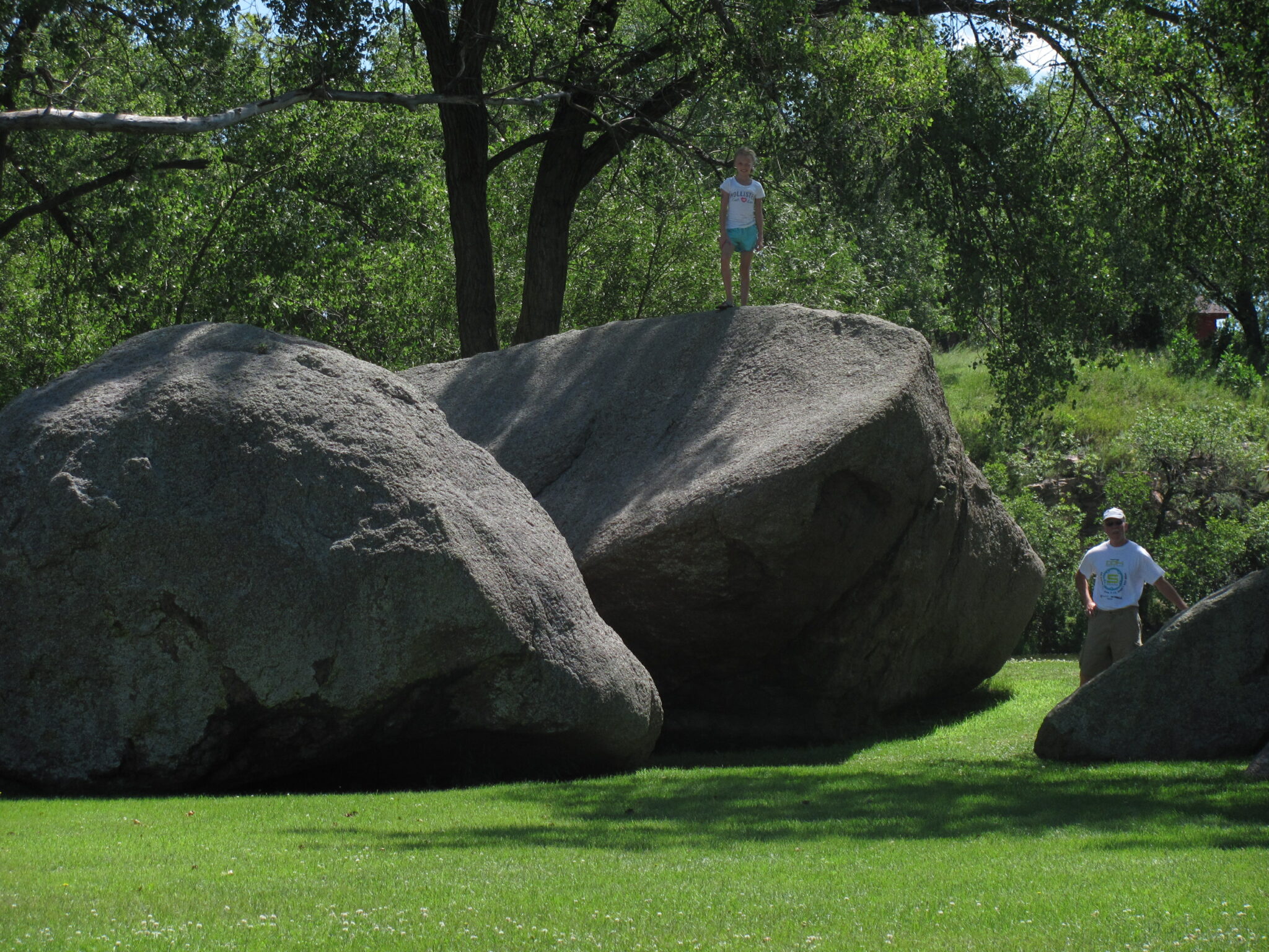

The Sioux Quartzite Outcrop Trail
Quartzite is one of the region’s most unique features, but Jim Kersten only started to appreciate it after moving back to South Dakota in adulthood. Despite the quartzite’s prominence in the area, it remains an under-discussed topic.
Quartzite is some of the oldest and hardest rock in the world. It is most commonly red or pink, but quartzite can come in a wide range of colors. Many buildings from the late 1800s and early 1900s in the area are made out of quartzite.
“I thought about why I took this for granted,” Kersten said. “This is one of the most abundant resources in the
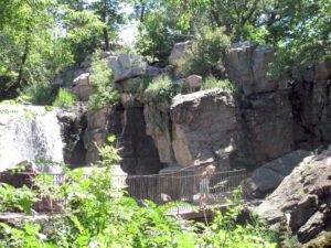
An outcrop is an area where the quartzite is exposed. The Sioux Quartzite Outcrop Trail lists many of these outcrops.
area and people weren’t really talking about it.”
Kersten owned a bed and breakfast in Alcester, South Dakota, near the Sioux River. He began working with the Big Sioux Recreation Council after they had approached him about picking up and housing tourists after they had traveled down the river.
“I thought we could turn it into a historical route,” Kersten said.
An outcrop is a visible exposure of bedrock or other superficial deposits on the surface of the Earth. Kersten noticed that there were many outcrops of quartzite along the river, and after looking at 110 historic sites in the area, he noted that 55 of them had quartzite present. That is how the Sioux Quartzite Outcrop Trail came to be.
Kersten’s trail features 10 primary quartzite sites in South Dakota, Minnesota, and Iowa. There are many additional sites along the way, and a map of the trail can be found at siouxquartzite.com. Kersten has spent years developing the trail, and has conducted guided tours and still gives presentations on the topic. In fact, he has two different ways to present this information – through a quick 15 minute explanation or a 3-credit lecture. The trail has helped him ensure that the area will no longer be taken “for granite”.
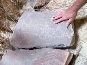
Old inscriptions and drawings are present on some of the stones.
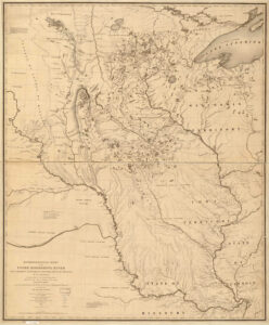
Nicollet’s map was the most accurate map of the area at the time. Photo courtesy of the Library of Congress, Geography and Map Division.
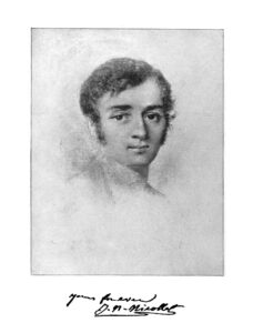
Joseph Nicollet
Joseph Nicollet
Joseph Nicollet was a French geographer who made three expeditions along the Mississippi River, beginning in 1863. In 1838, Nicollet came through the South Dakota area and was accompanied by John C. Frémont, who later became known as ‘the pathfinder of the West’. He was trained by Nicollet during his Mississippi River adventure and later mapped the Northwest United States using Nicollet’s methods. Joseph Renville Jr. and Joseph LaFromboise were also in the party. They set out from Traverse des Sioux and arrived at the Pipestone Quarry on July 4, 1838.
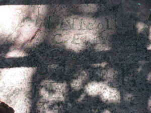
Nicollet’s original inscription can be seen at the Pipestone National Monument.
Nicollet’s Map of the Hydrographic Basin of the Upper Mississippi River was the result of his expeditions and was crucial to further explorations of the West. This map did three important things. It corrected several serious errors that were present in earlier maps of the area and was one of the first maps to depict elevation. Nicollet also used regional Native American placenames for different lakes and landscape features, so it became a crucial source for names in the area. Nicollet’s map has been recognized as one of the most important contributions ever made to American geography.Others had mapped the area before Nicollet. George Catlin, who had a more artistic approach to his journals, had embellished some of his findings. Nicollet focused on providing accurate maps and readings of the area. Catlin had also visited the Pipestone Quarry area, and the dark red sandstone came to be known as Catlinite. This same stone had been used to make peace pipes, and the area as a whole was sacred to many tribal nations and was a neutral territory and place of peace.
Nicollet recognized the area’s unique geography, but he had no idea how these “erratic rock deposits” had appeared. He noted that the area appeared to be “scooped out” by an unknown force. At the same time, Louis Agassiz had begun to develop theories about an Ice Age and glacial movement, which we know today to be the reason why these outcrops are in the area. This also explains why the Aberdeen area is so flat – it was right in the middle of one of these ancient glaciers. //


